

Hidden in the Kyrenia Mountains is the Forgotten Fourth Fortress, a mysterious ruin reached by a forgotten medieval mountain path. Could we find it? We were going to bloody well try.
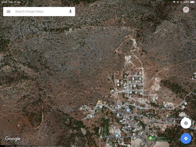
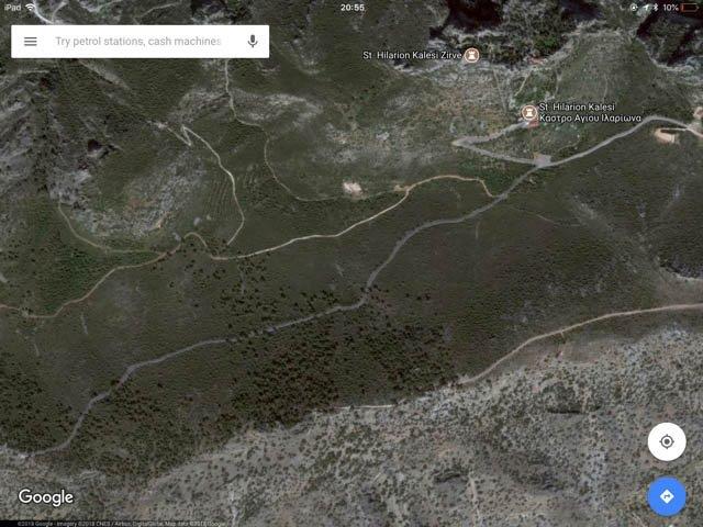
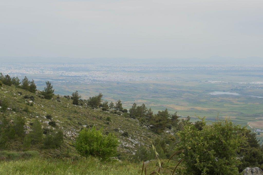
I have been obsessed with finding the Forgotten Fourth Fortress since spotting this on Google Earth three years ago:
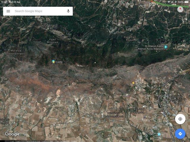
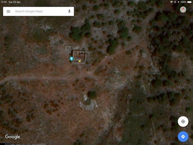
Next to the image was the label ‘castle’. Castle? I thought. But there are only three castles in the Kyrenia Mountains. There’s the mighty St Hilarion Castle overlooking Kyrenia. Buffavento Castle is further along the mountain range and Kantara Castle is right at the end on the Karpaz Peninsula. All three castles provided a line of defence, well-positioned to spot foreign invaders and light signal fires to warn the island.
Nowhere in any guidebook or tourist brochure is there mentioned a fourth castle.
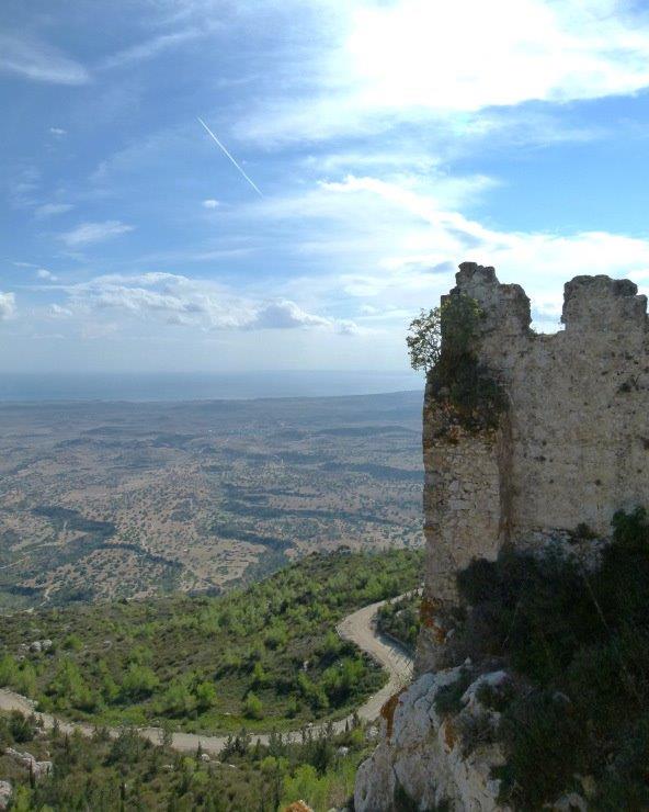
Curious, I started Google searches for a fourth castle in the Kyrenia Mountains (Greek name Pentadakylos, Turkish name Beşparmak). Eventually, I stumbled across references to the ‘Forgotten Fourth Fortress’ on a north Cyprus expat forum. I knew immediately it was the ruin I’d spotted on Google Earth. And I was right.
In a post written nine years ago, a man named Hans Doeleman was advertising a lecture he was giving on the ‘Forgotten Fourth Fortress’. Hans was the founder of the Medieval Cyprus Fellowship and seemed passionate about the Forgotten Fourth Fortress. He discovered a 7km medieval path that runs from the fortress, down the side of the mountain and joins up with the old Kyrenia-to-Nicosia road.
There were no further posts about a fourth fortress until December 2018 when a journalist used satellite images to follow the medieval path to the fortress. That post provided new details about where to start the trail.

I was desperate to walk the path and find the castle, but we waited. Three years ago, Goobie was too little to walk a 14km round-trip. Then there was pregnancy, Herc’s birth and a year of sleepless nights. The time was never right.
Until this Easter. It was the school holidays, the weather was forecast to be good and so we booked a mini-break near Kyrenia.
Before starting our search, there was one thing I wanted to do. Hans mentioned selling CDs of his Forgotten Fourth Fortress lecture at the Lambousa Saturday Market, so we stopped off there in the hope that I could meet him and ask him some questions.
It was just a faint hope given the online silence since 2010. I asked around and an expat stallholder remembered him and told me that sadly he had died.
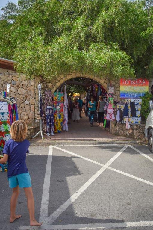
Saddened about Hans, we set off for Ağirdağ village (Greek name Agirda village) where the medieval path can be picked up. Ağirdağ is on the southern slopes of the mountains, to the west of the Nicosia-Kyrenia road. You turn off before the junction for St Hilarion Castle.
We drove through the sleepy village until we reached the house at the northernmost end. We parked the car and walked up the track that we’d read would turn into the medieval path.
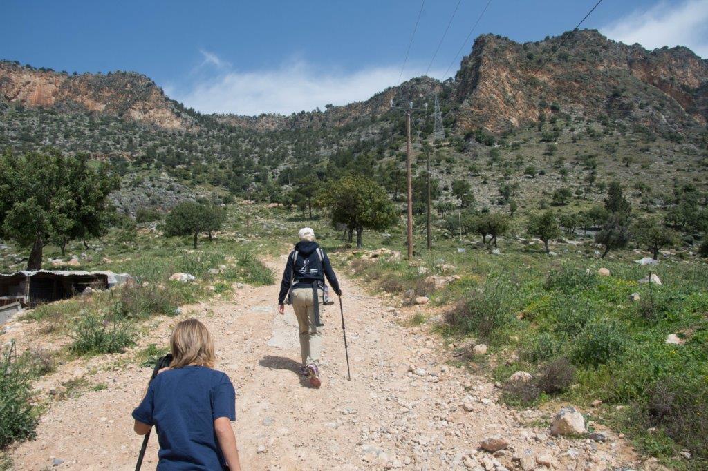
The track came to a dead end part of the way up the mountain. We looked up and could see what looked like a path metres above us. But there was no obvious way to reach it. Goobie was grumpy and hot. We’d walked less than half a kilometre.
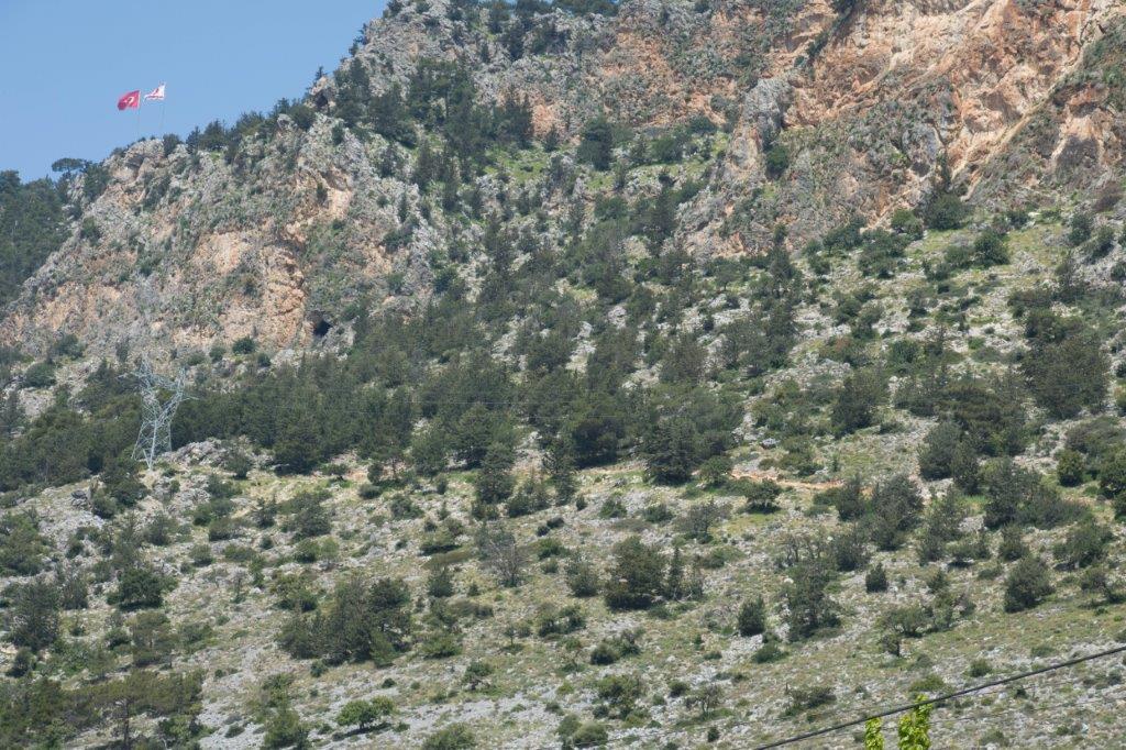
Matt scrambled up the side of the mountain, over rocks and through shrubs. He was gone ages.
‘Are you still alive up there?’ I asked helpfully.
There was a small landslide and a yelp, then Matt appeared, covered in scratches.
‘I fell in a thistle bush. There is a path up there but it isn’t a good one and there’s no way Goobie and Herc can reach it.’
Bugger.
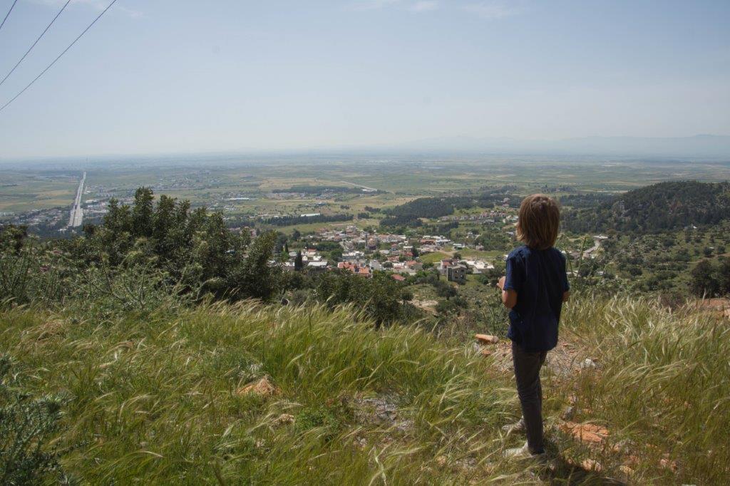
Then I spotted a track in the distance, weaving over folds in the foothills of the mountains. It was heading in the right direction. Would it take us some of the way to the Forgotten Fourth Fortress? Could we pick up the medieval path further along? We hopped in the Land Rover and set off.
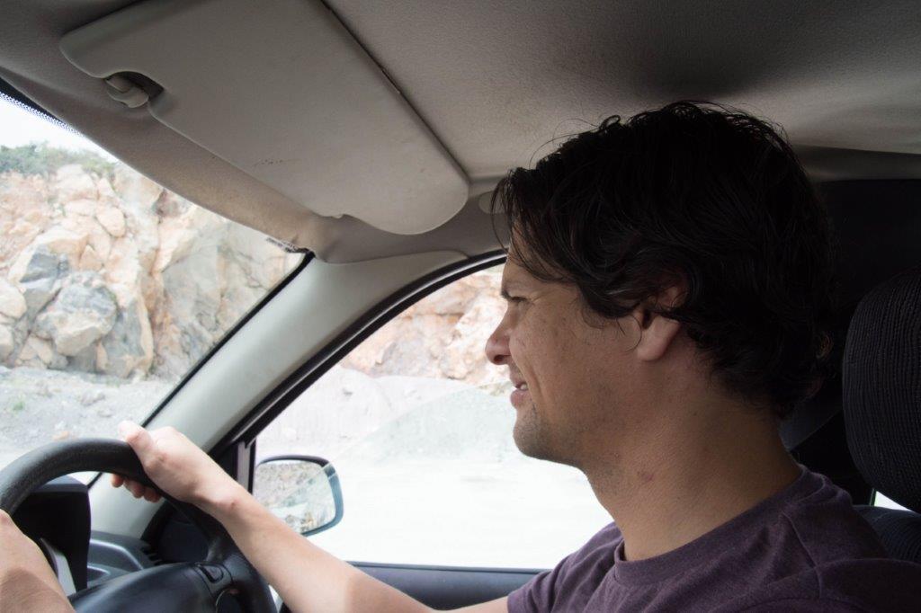
The dirt track is only suitable for 4x4s and even then we crunched the underside of the Land Rover. Matt got that look on his face – the one reserved for Cyprus Terror Tracks.
But actually, is was a gorgeous drive. The countryside was beautiful with the imposing mountain on one side and the sweeping Mesaoria plain on the other.
We drove a few kilometres when, suddenly, I spotted another track leading straight up into the mountains. Would it lead to the medieval path? I leapt out of the car and shot up it. I reached an electricity pylon and a dead end.
Bugger.
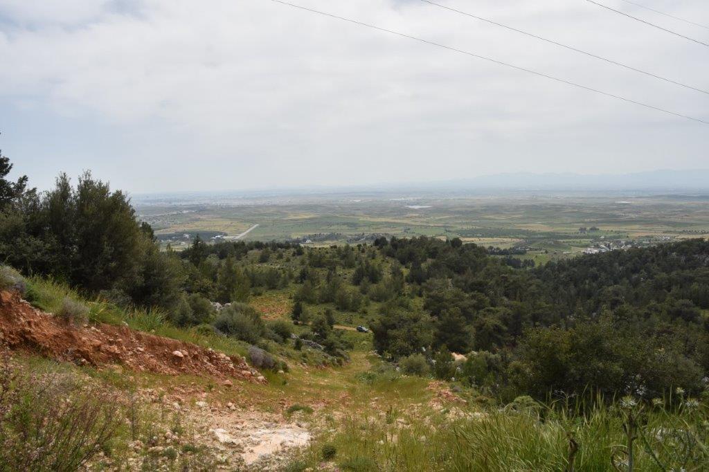
From my lofty position I surveyed the area. No sign of any medieval path anywhere and the track we were driving down didn’t show any signs of climbing the mountain. Back at the car, I looked at the satellite images again. Tracks and paths just kept disappearing. We could be stumbling around in the mountains for hours and still not get anywhere.
‘I think we should turn back.’ Matt said what I’d been reluctant to admit. We couldn’t wander aimlessly in the mountains with Goobie and Herc.
I was gutted. There seemed something almost magical about a forgotten medieval path leading to a forgotten fortress.
It was time for Plan B.
Plan B was to drive along the mountain road that takes you to St Hilarion Castle. At the castle the road branches into two. The road on the right leads to St Hilarion. The road on the left leads along the edge of the mountain and to Certain Death. Or so I feared. I hate terror tracks on the edge of mountains.
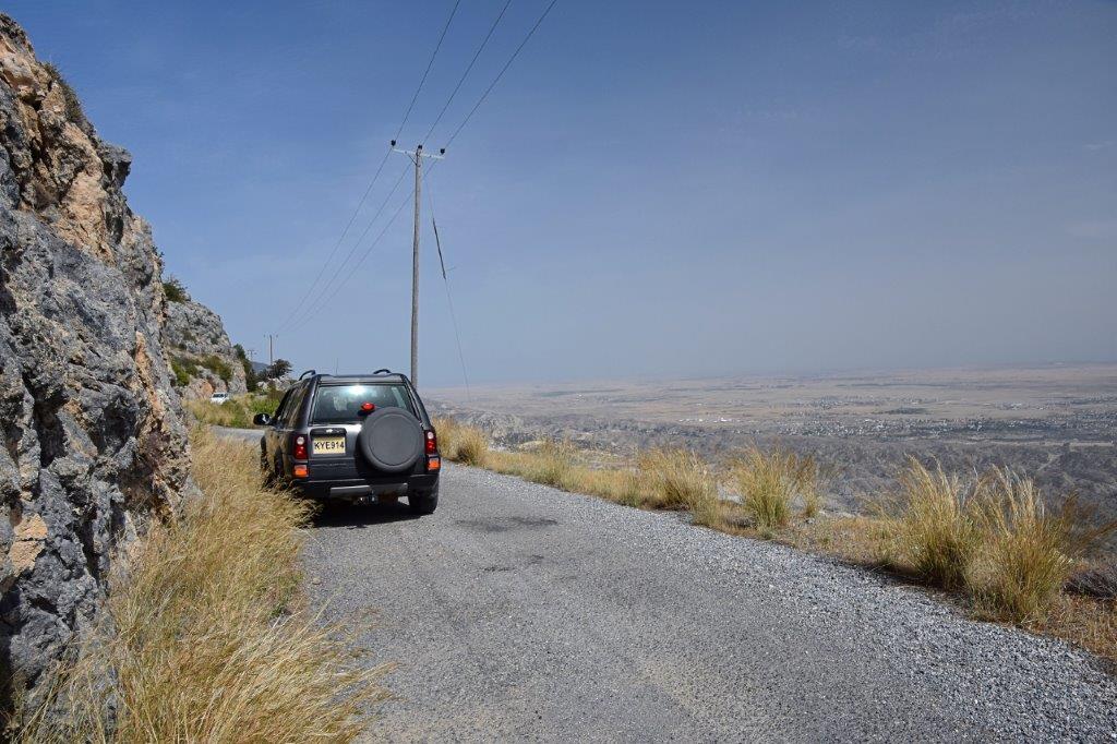
I’d seen on satellite images that this road runs close by the Forgotten Fourth Fortress. Though on the images it looks like the road dwindles into a track and disappears entirely in places. Plan B was to drive along this road until Certain Death seemed certain. Then we would walk when it got too scary to drive – and hope we didn’t get lost.
It wasn’t quite the adventure I wanted but at least it was an option.
I clung on to the side of the car door (as if that would save me) as we drove up the road past St Hilarion Castle and into the mountains. We soon reached an amazing view point and got out to admire the beauty of the Mesaoria plain.
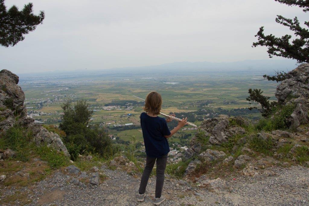
In the distance we could see Nicosia. Just beneath us was Ağirdağ and the track we had climbed a couple of hours earlier. Even from this vantage point, we couldn’t see the medieval path.
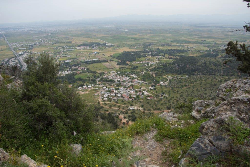
The road took us onwards and upwards, the mountain falling away sharply to one side. It was spectacular when I could bear to look.
‘Look down there, Mummy!’ Goobie said gleefully. He bounced up and down in his seat. ‘Have you got the Mummy Wobbles yet?’
Yes I did have the Mummy Wobbles, thank you very much. And the Mummy Wobbles was telling me that Goobie bouncing in his seat would cause the car to plummet over the side of the mountain.
‘Sit still!’ I shrieked. Goobie laughed.
The arse.
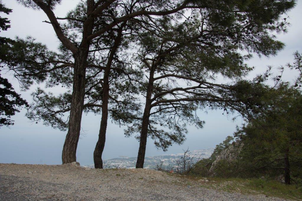
And then something unexpected happened. The road stopped being scary. We were now driving through mountain forest, past walking trails, a campsite and beautiful trees. The road had taken us away from the mountain edge. I finally relaxed.
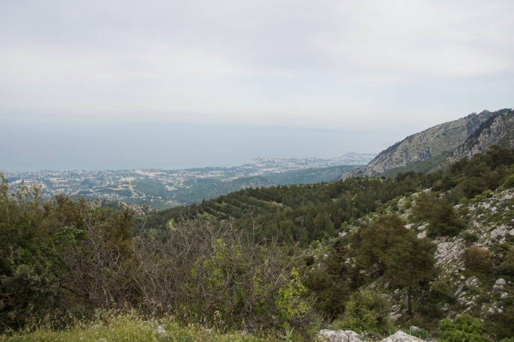
I checked satellite images as we drove.
‘From these images, the road looks like it’s going to turn into a track, so we might have to stop and walk soon.’ I warned everyone.
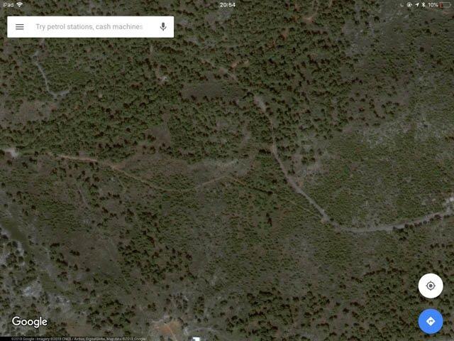
But the road didn’t turn into a track. This beautiful tarmac mountain road kept going onwards, weaving around rocky peaks and through forest. I was confused. Had we taken a wrong turn?
Matt stopped the car and we had a proper look at the satellite images. No, we were on the right road.
‘From these images, we are about 2km from the Forgotten Fourth Fortress.’ Matt said.
What?? Where was my epic hike? My adventure?
I realised that the road looked like it disappeared on satellite images because it was obscured by trees.
This mountain road was going to take us all the way there. By car. I was gutted.
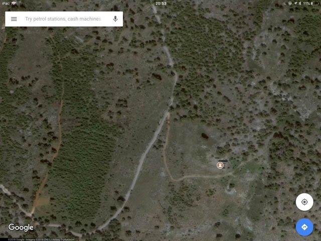
We drove around the final bend and spotted the track that I knew would take us over a hill and to the Forgotten Fourth Fortress on the other side. I looked down at the hiking trousers I’d bought especially for this day.
‘Can you park further down the road so we at least have a bit of a hike to the fortress?’ I asked Matt.
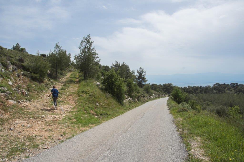
We walked half a kilometre up the road, a beautiful little valley to one side. It would have been a perfect picnic spot had we time.
We turned up the track and followed it over the hill. I spotted the first sign that we were close.
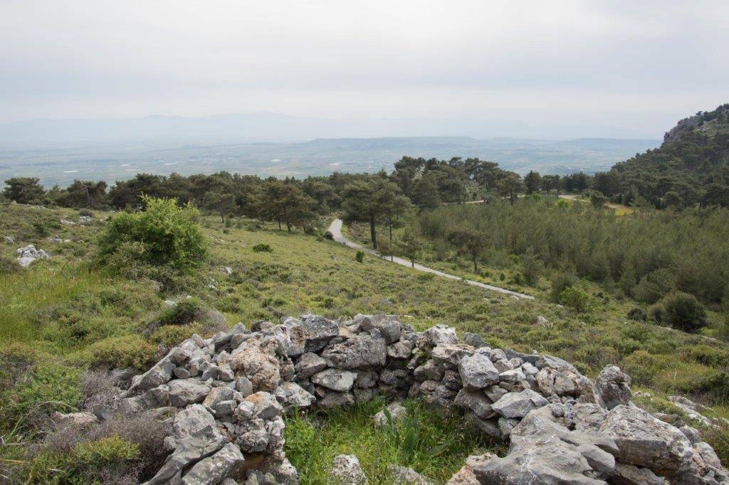
The track swept around a bend and big ruined walls appeared over the brow of the hill.
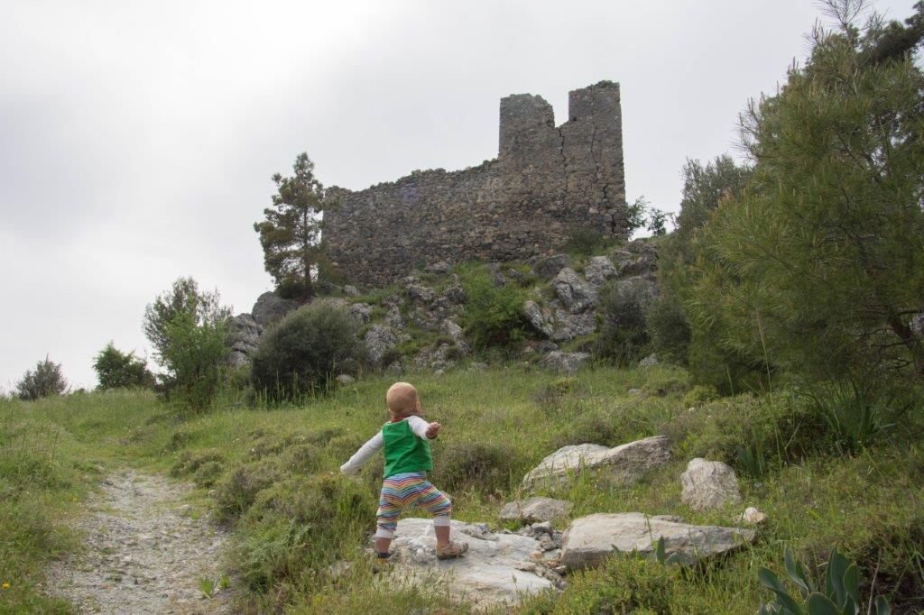
And there it was. Standing proudly on a hill looking out over the Mesaoria plain. After all those years, I’d finally found the Forgotten Fourth Fortress. Albeit a tad more easily than expected.
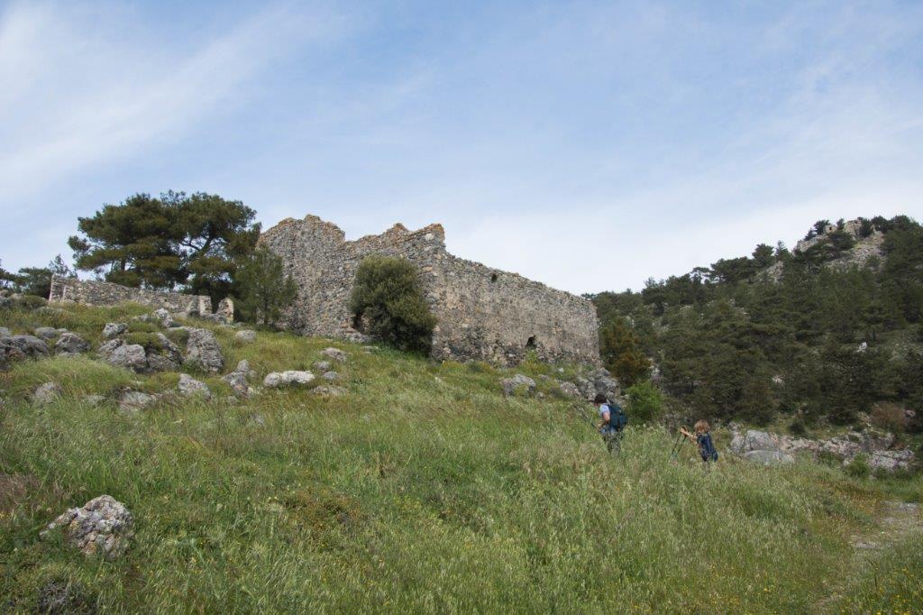
I ran up to it, all thoughts of abandoned hikes forgotten. I waded through long grass, bashing the ground with a hiking pole to scare away snakes.
I’d always known that the ruin was just four walls, that it was nowhere near the size of the other castles. The fun was in the search. And the mystery.
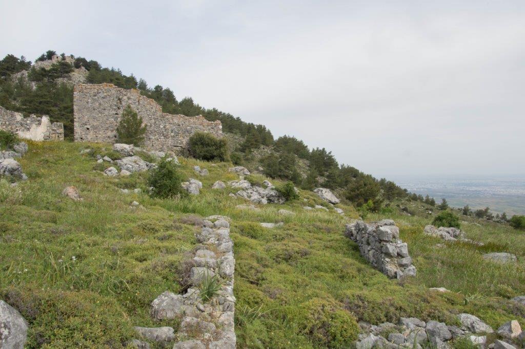
The walls were more intact than I’d imagined. We walked through an archway inside the fortress and I was surprised to see that some of the internal walls were still standing and you could walk into a couple of tiny rooms. Beware though – this ruin is crumbling. There were deep cracks in the walls and areas that had collapsed entirely.
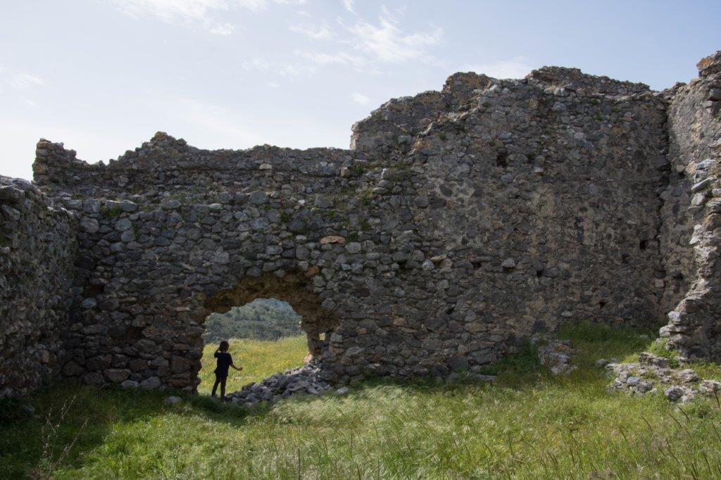
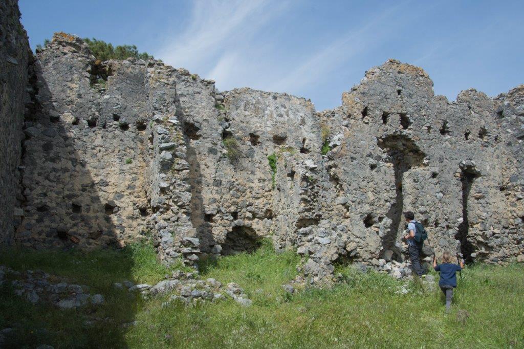
I stood in the middle of the fortress and tried to image what this place would have been like in its heyday. Who would have lived here? What was it for?
According to the scant information on the Internet, the Forgotten Fourth Fortress is as old as St Hilarion, Buffavento and Kantara. It is thought that it was built as a watch tower, hence its far smaller size.
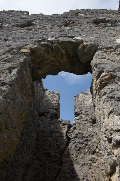
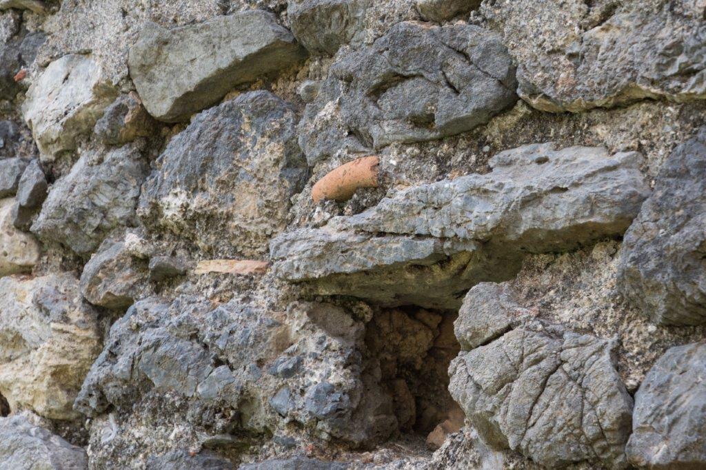
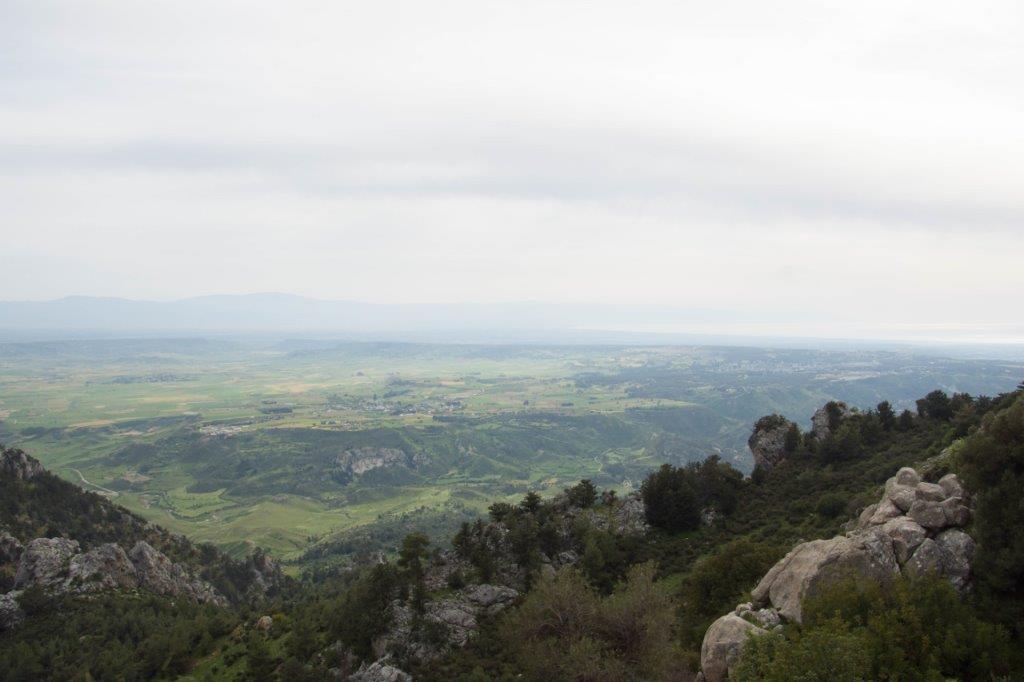
As I walked around its exterior, I could see that it was well positioned for a watch tower. It has excellent views of Morphou Bay to the west and Nicosia to the east. By lighting signal fires, it would easily have warned Nicosia of invaders approaching from Morphou Bay.
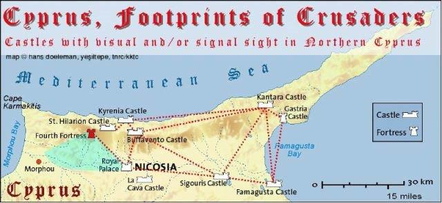
I found a diagram that Hans Doeleman had produced, showing how all the castles and fortresses could have communicated with each other in medieval times. There are castles on his diagram that I’ve never heard of before. La Cava, Sigouris and Gastria. Do they still exist? That search is for another day.
Outside the main walls of the Forgotten Fourth Fortress, I could see foundations of other buildings. Unless of course this was all one big building and these foundations were actually rooms? I wondered, has this place ever been excavated? What else could be lying beneath the undergrowth and top layer of soil? Would it solve the mysteries surrounding the Forgotten Fourth Fortress? There is almost no information about this place.
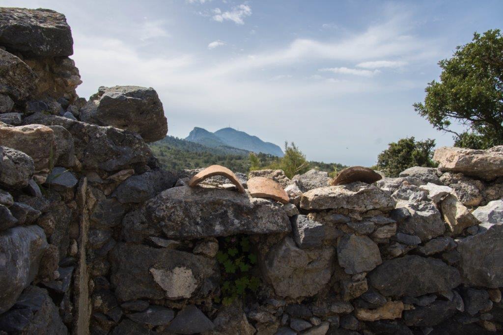
One of the outbuildings was still standing and filled with terracotta fragments. At first I thought they were pot fragments but I think they are old roof tiles. I’m no archaeologist but they looked too modern to be medieval.
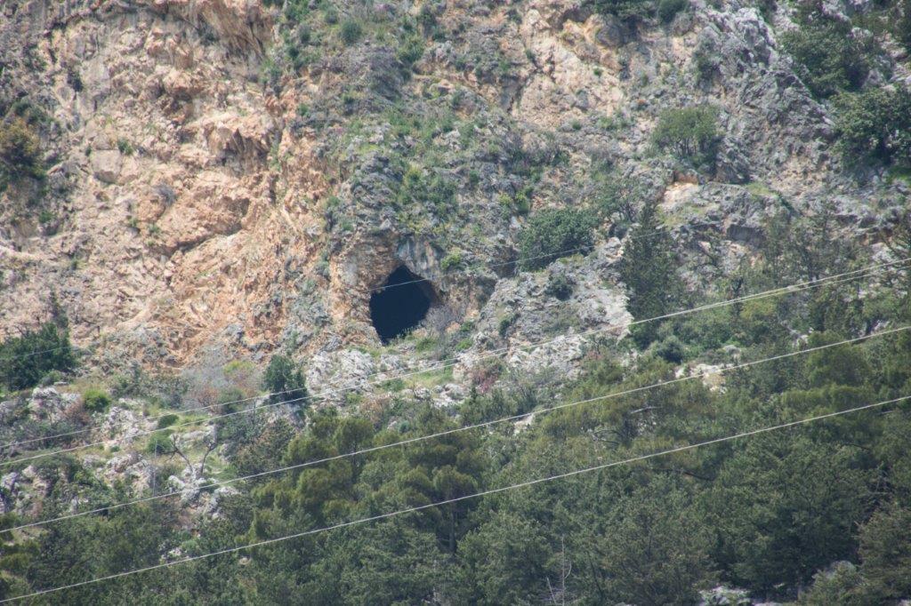
In a narrow valley beneath the castle were two caves. I love caves! This was a bonus. They were clearly still used – perhaps by goatherders as a cool place to rest.
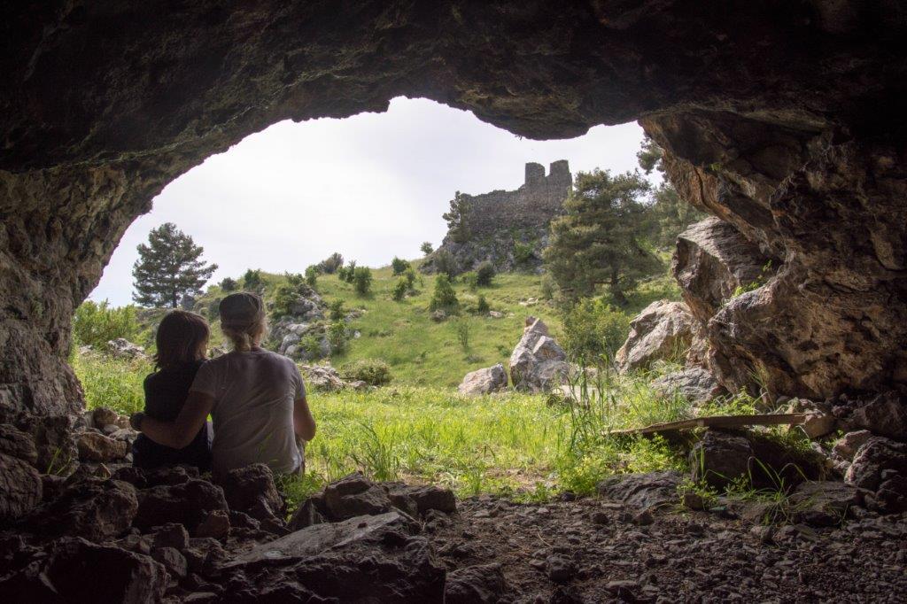
And then we spotted it. Appearing around the edge of the mountain from the east and running past the caves – the end of the bloody medieval path! We followed it for a bit until it disappeared around the mountain and then we walked back along it towards the fortress. One day, perhaps when grandparents can look after Herc and Goobie, Matt and I will go back to Ağirdağ and try to find this path again.
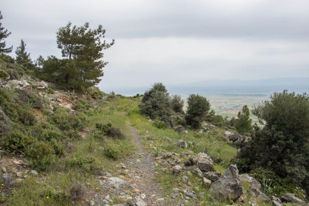
I looked up at the fortress and imagined how it would have felt to have seen it for the first time from the medieval path, standing above us on its hill, still keeping watch over the sea and plain below. I imagined how it would have looked in medieval days. And I felt a pang of sadness for this once important, now totally neglected place, left to fall into ruin, its history totally forgotten. Stories are often passed down from generation to generation. Do any stories remain about this place? If they do, they haven’t made it onto the Internet.
If anyone reading this has any more information about the Forgotten Fourth Fortress, please leave a comment below. I’d love to know more about it.
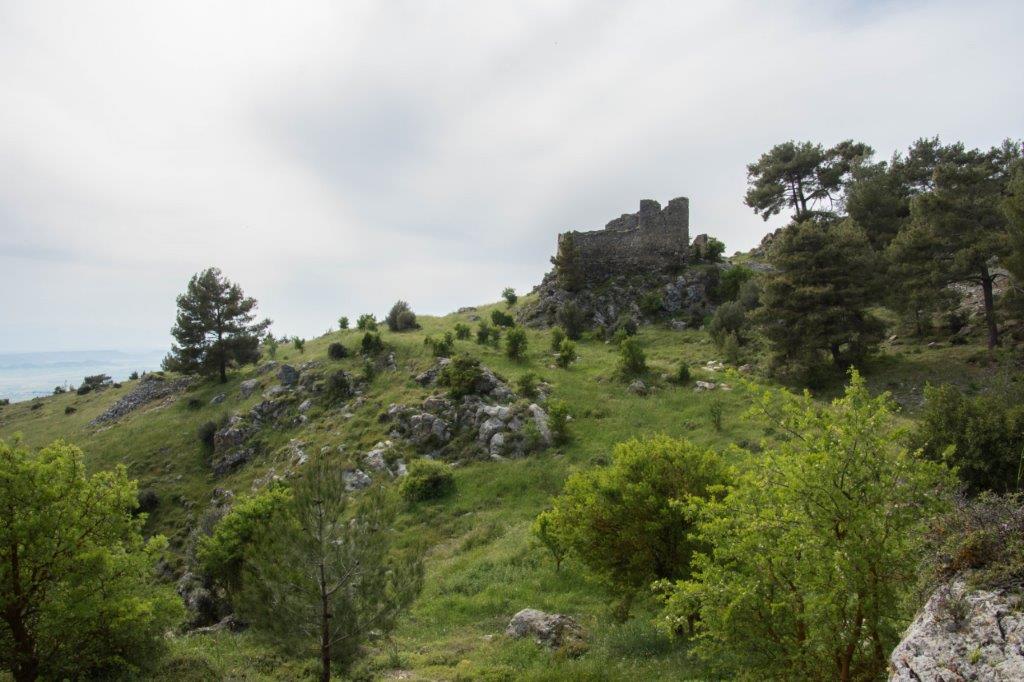
It was getting late and time to go. Time to follow that maddeningly good mountain road east, down towards Karsiyaka and our hotel. As we drove away, I realised you can see the walls of the fortress from the road, if you know where to look. Hidden but so close. Much like the history of this mysterious place.
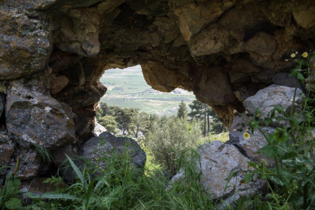
When we got home a few days later, I studied Hans’s map of the medieval path again. Now I was familiar with the area, I realised that the track we’d driven along from Ağirdağ was the start of that path. We’d been on it all along.
Bugger.
I was very interested to read your post as not only was I at that lecture (one of several different ones) given by Hans Doeleman but a friend of mine had walked to the remains. I do not really have any further information other than to say that clearly it is there to watch over the Morphou Bay area. I am not sure whether I have the CD you mention, I will have to hunt for it! Thank you as always for an enjoyable article!
Hi Julia,
Enjoyed your hidden fortress story. I shared it on Cyprus Memories – The Hallouminati. A group of like minded Cypriots Greek and Turkish. It has caused quite a lot of comment as they have discussed it previously. I have found on my visits to Cyprus that these hidden gems are known about much more widely than us “foreigners” expect. If you are not aware of The Hallouminati I recommend them as quite an interesting group, who in the main all support a United Cyprus. My wife is Cypriot from Kato Drys and we fortunately get there most years from Sydney Aus. Cheers, Sean
Fascinating post; having visited the place today ourselves I can see why you were so excited about the hunt. It’s a wonderfully haunting old building.
I know nothing at all about the history but I know a man who might…….I’ve sent him the link to this article so hopefully he can shed some light for us all.
6 Comments